Teide Tips and Photos © Jumk.de Webprojects | Imprint & Privacy | German: Teide Tipps und Fotos
Travel Tips Pico del Teide, Tenerife
The volcano Teide on Tenerife, with its altitude of 3718 meters (12198 feet), is the highest mountain of the Canary Islands and of Spain. Its dimensions are enormous, Teide national park has an area of 190 square kilometers. The 170,000 years old caldera has a diameter of 16 kilometers. The most recent, much smaller eruption, was in the year 1909. North of the caldera is the volcanic cone. Especially in winter, there can be snow on the summit.
A cable car is going up the mountain, the Teleférico del Teide. Tenerife is a tourist hotspot anyway, so Mount Teide is visited by many people. Here, the opportunities for a day trip on Pico del Teide are specified.
The Approach
Excellent roads take you to the bottom station of the cable car on an altitude of 2350 meters, also public busses go there. From Santa Cruz, it takes about 1 1/2 hours by car, if you don't hurry. A reservation of the cable car in advance is recommended. The cable car shoots you in 8 minutes to an altitude of 3555 meters.
From the top station, there are three routes: two easy panoramic walks (no. 11 and 12) and the somewhat more challenging summit ascent (no. 10). For the summit ascent, you need a permission (free of charge) of the national park administration, of these, only a limited amount is issued each day. On top, the space is very limited.
Reserve in advance with date and time:
• Cable car ticket [https://www.volcanoteide.com]
• Summit ascend permission [https://www.reservasparquesnacionales.es]
You have to take care yourself for the matching of the two appointments! Reserve early. The cable car going up must be booked for a certain time, for the cable car down you are free to take any. But ask, when the last is going down. For the ascend permission, you have a certain time frame.
The Altitude
3718 meters is a considerable altitude, which can cause problems for some people. You should already have some altitude experience, to be sure, that you can cope with thin air. On sea level, the average air pressure is 1013 millibar, at the bottom station it is 760, at the top station it is 655 and on top, the air pressure is only 640 millibar.
Especially with the cable car, you'll cover a big altitude difference in a very short time. For pressure equalization, it helps to chew on something. When walking upwards, you will probably realize that this is more wearisome than on lower altitudes.
It is recommendable to plan your arrival at the cable car at least one hour before the time on your ticket. First, it can be a bit chaotic here sometimes, second this gives the body a little time for acclimatization, before going further up. The bottom station has a self-service restaurant and a souvenir shop.
Especially in winter, you'll need warm clothing. When we were there in July, the early afternoon temperature was 15°C in the non-existing shade. Always recommended are a hat, sunscreen and water for drinking.
The Ascent
To climb on top of Mount Teide, you'll inevitably need solid hiking boots. The altitude difference of about 170 meters to the summit can be done in half an hour to three-quarters of an hour, if no problems with the altitude occur. The path is paved for the largest part, the steeper parts have steps. Only the last part is over rock, there are some short parts secured with a chain and it can be necessary to use the hands.
On the very top of Mount Teide, space is very limited. With 10 people there it is full, more are not allowed. No more than 50 people are allowed on the summit ascent at any time.
On top, you will smell sulfur (hydrogen sulfide, to be exact), which isn't a surprise on a volcano. From small holes next to the path, warm (but not hot) steam comes out.
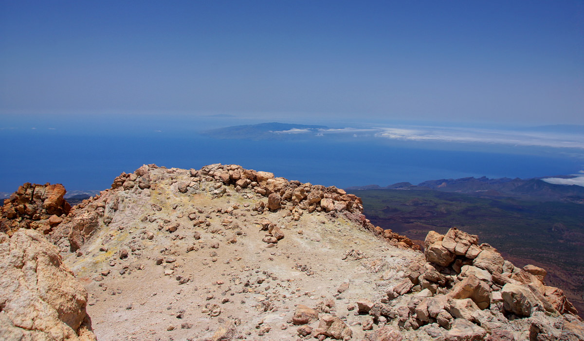
The view from the top is across the whole island, often with low clouds stuck there. In the distance, the islands La Gomera and Gran Canaria can be seen clearly, somewhat further away are the other Canary Islands. At very good conditions, even Africa, which is more than 300 kilometers away, can be seen.
Photo gallery Pico del Teide
Click on a picture to enlarge. All photos were taken on July 13th, 2017.
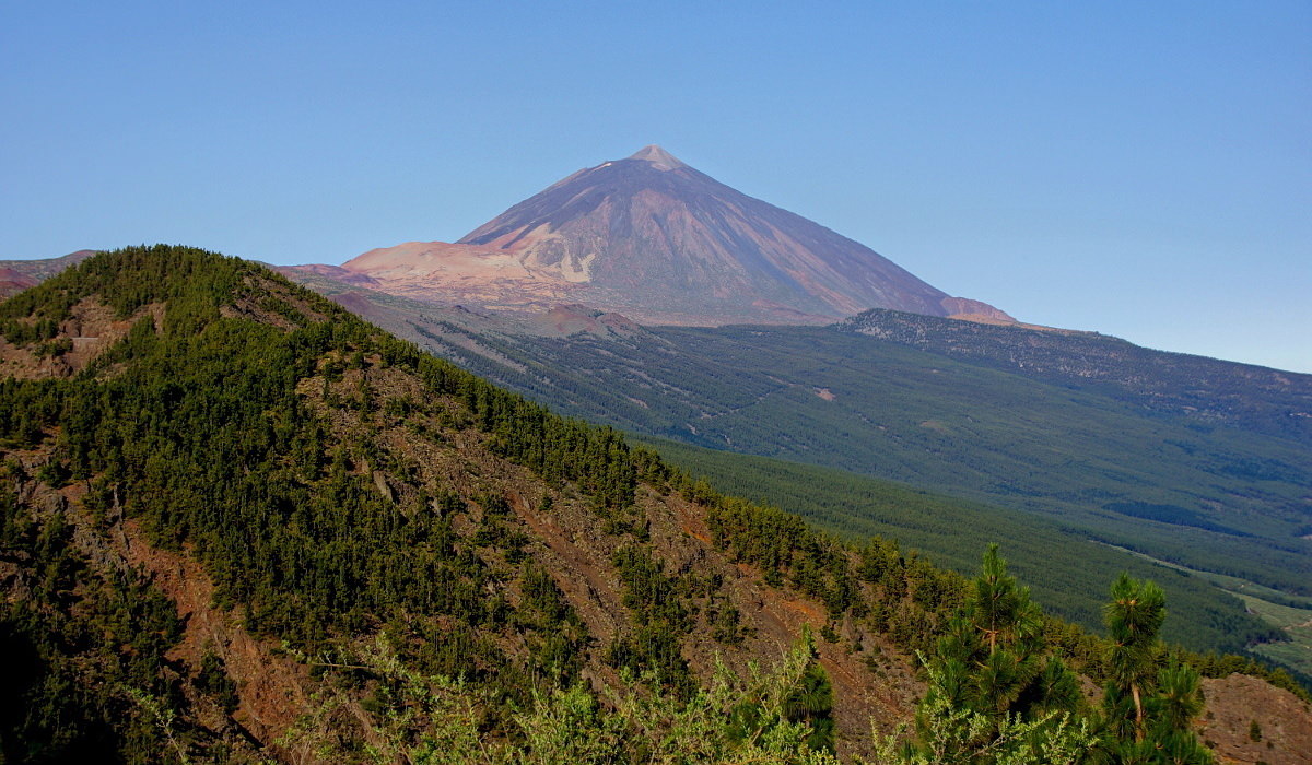
Pico del Teide on Tenerife.

Mount Teide, summit. To the left, the cable car can be seen.

Observatorio del Teide, on the road from Santa Cruz to Teide.
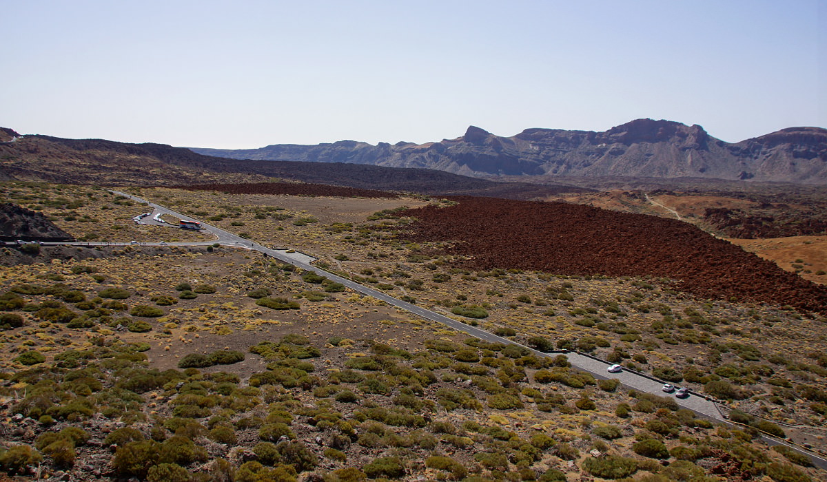
In the caldera, below the bottom station.
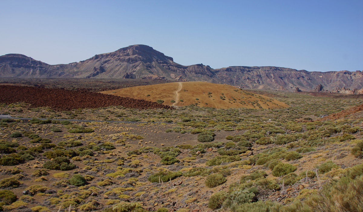
In the caldera.
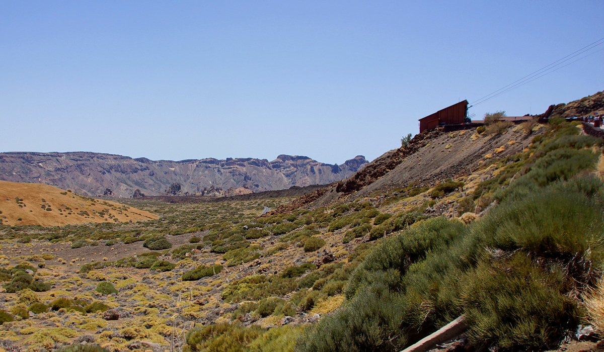
Bottom station Teleférico del Teide.
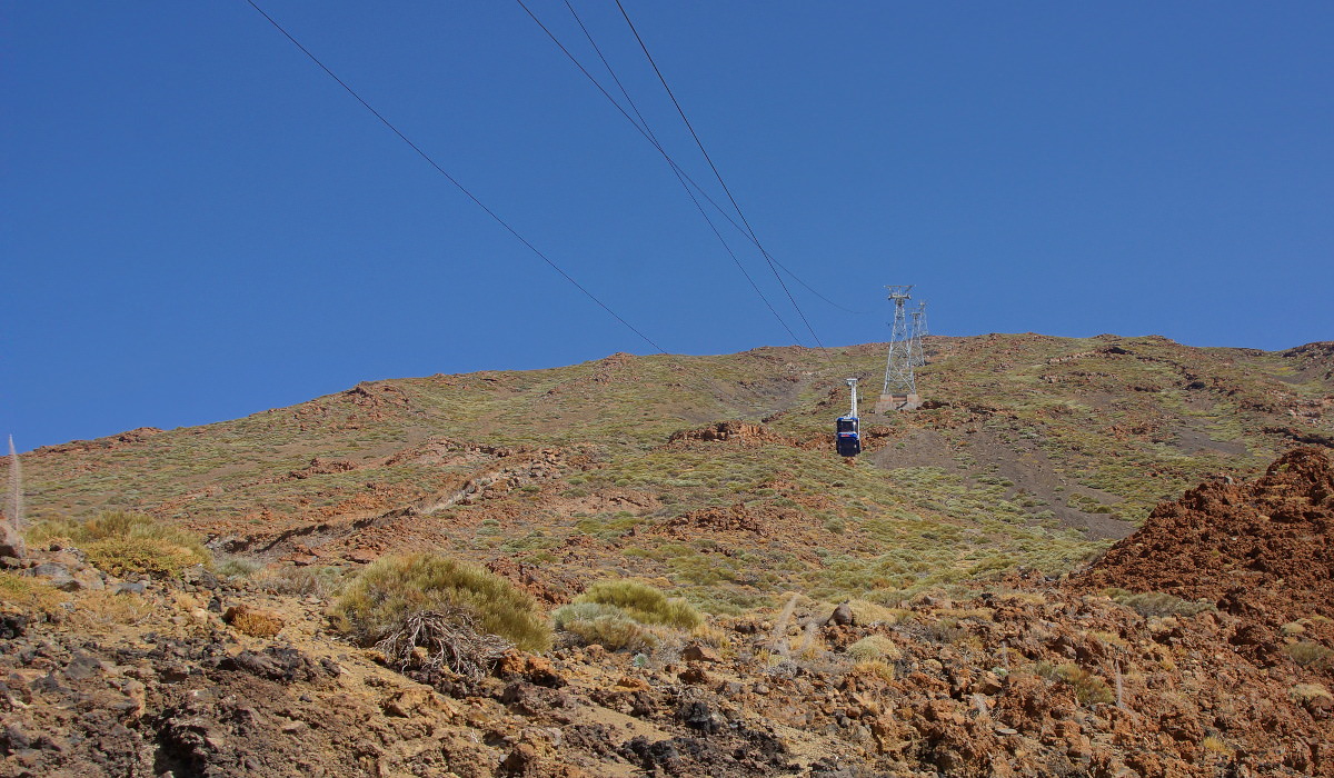
Cable car Teleférico del Teide.

The large caldera from inside the cable car.
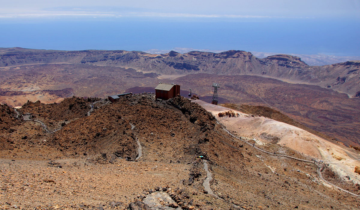
The top station from route 10, to the left is route 11, to the right route 12.
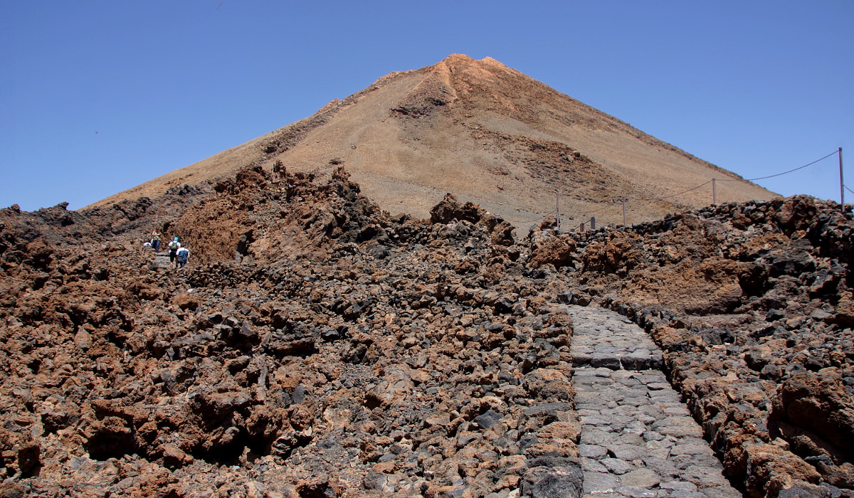
Route 10 to the top.
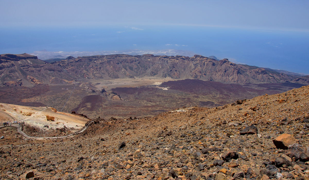
View across the caldera from the ascent.
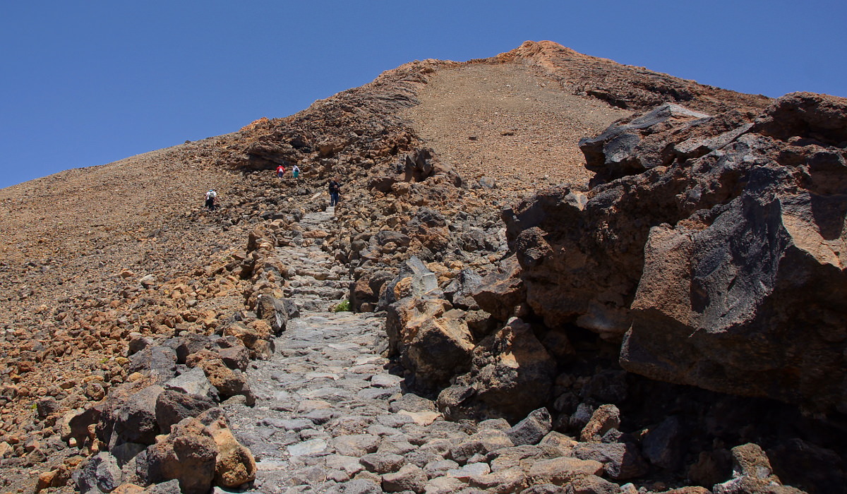
Ascent to the top of Pico del Teide.
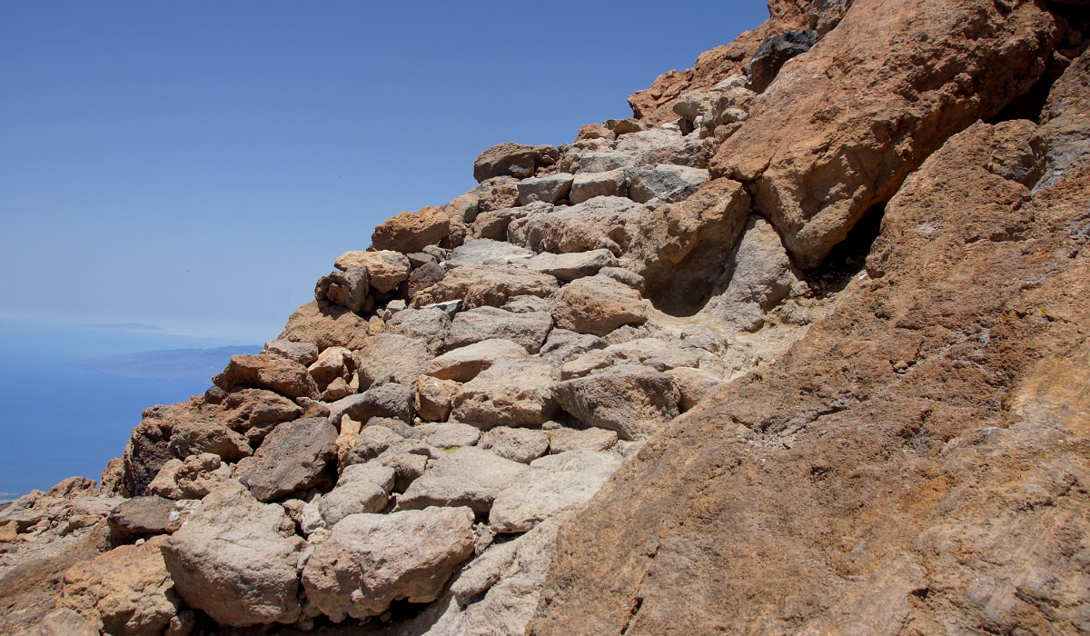
Upper part of the path.
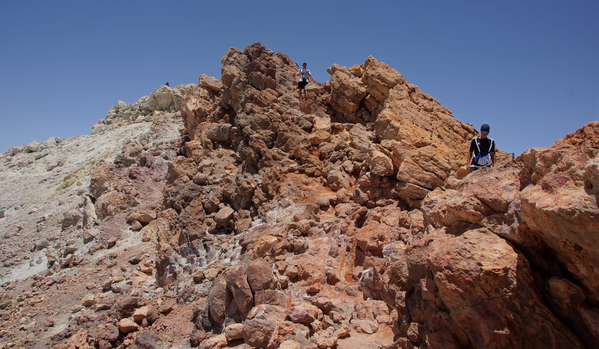
Almost on top.
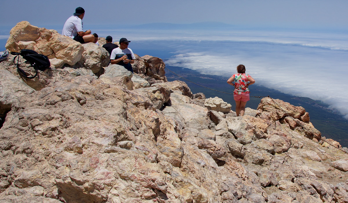
On top of Mount Teide, in the distance is La Palma.
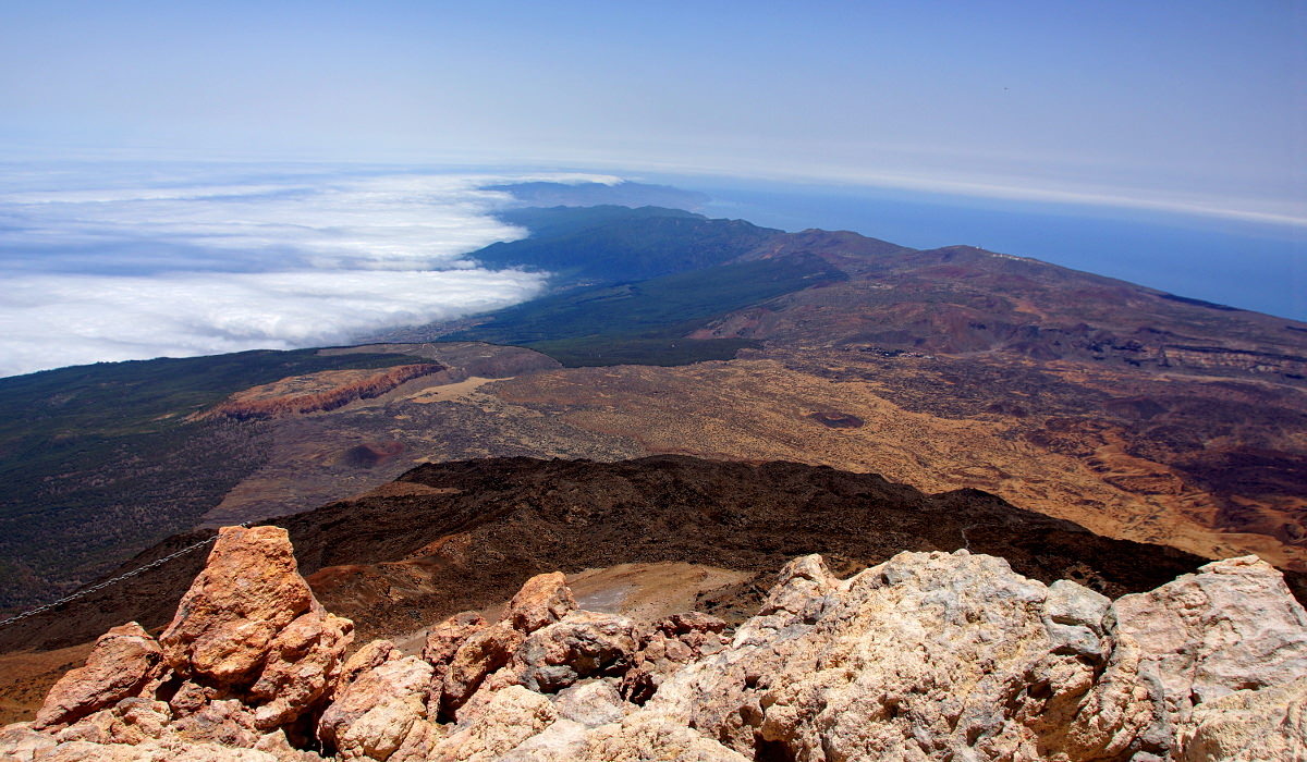
On Teide, looking northeast.
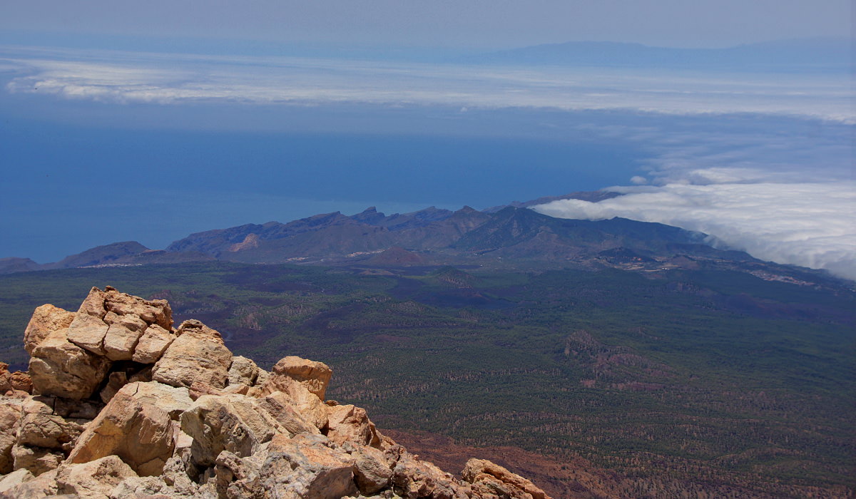
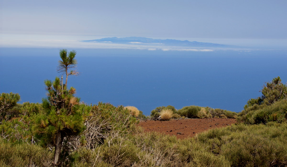
View across the Teno massif, behind that is La Palma.
Yellow sulfur sediments at the top, in the distance are La Gomera and El Hierro.
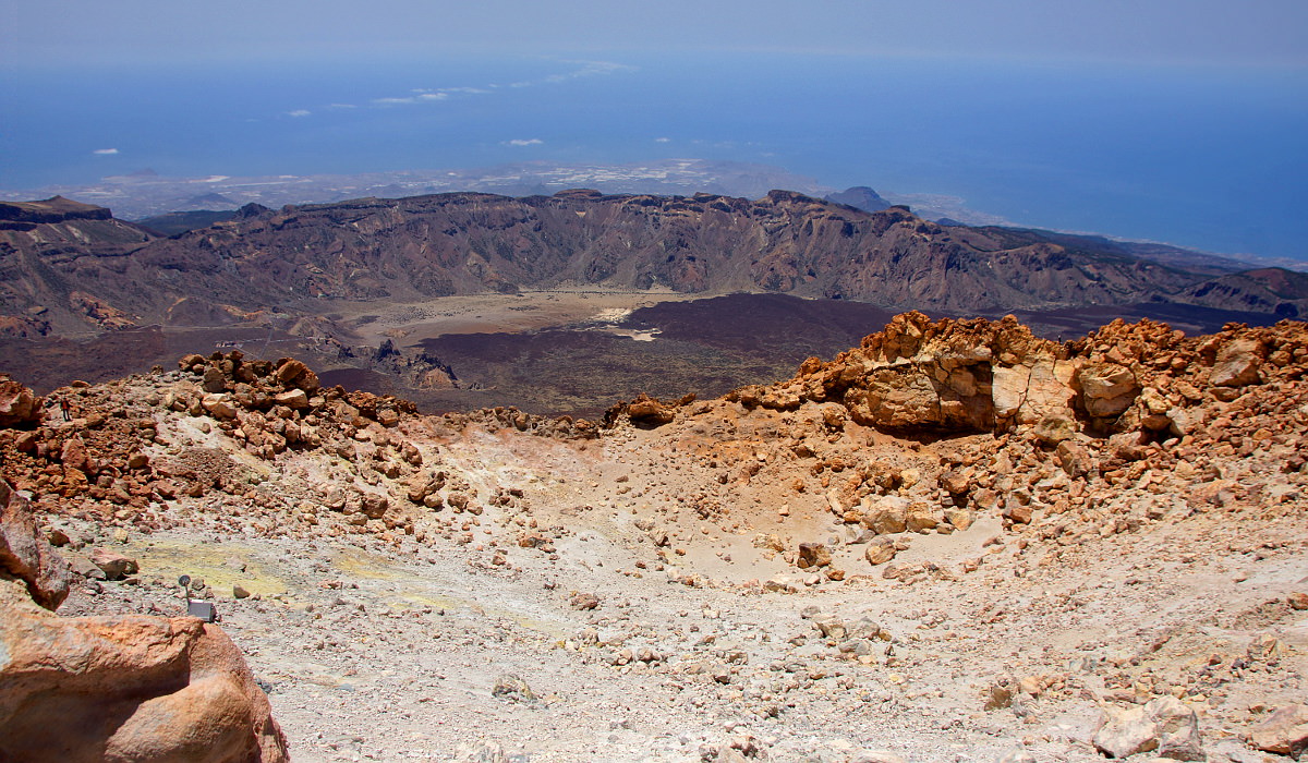
The caldera and below the tourist centers of Tenerife.

Flowers above 3600 meters altitude.
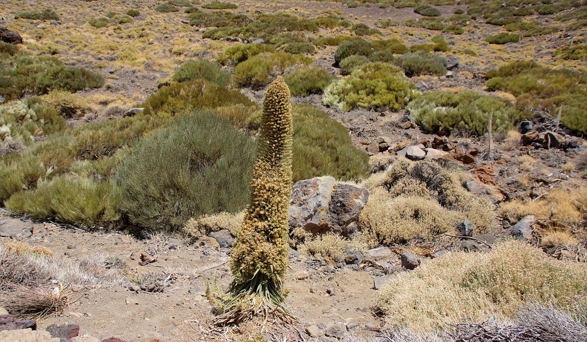
The vegetation of the caldera.
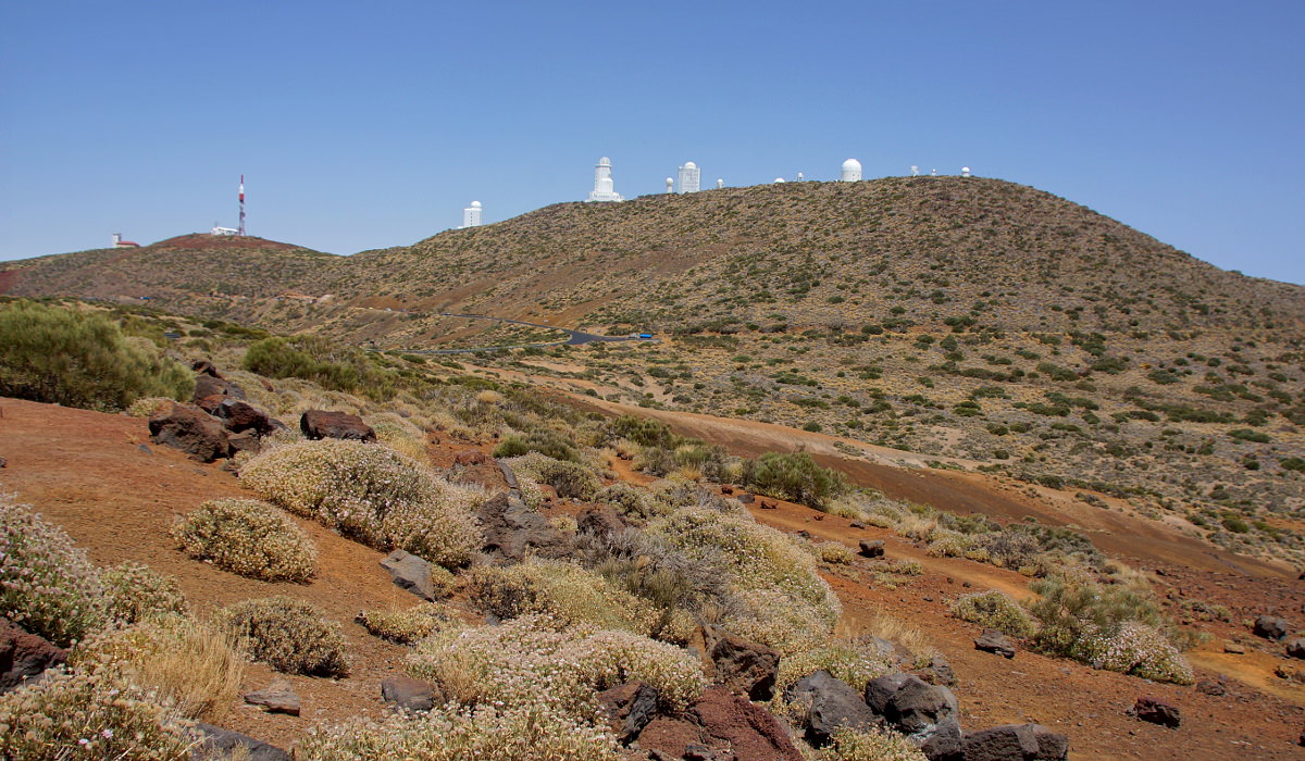
The Teide observatory.
Gran Canaria, seen from the road to Santa Cruz.
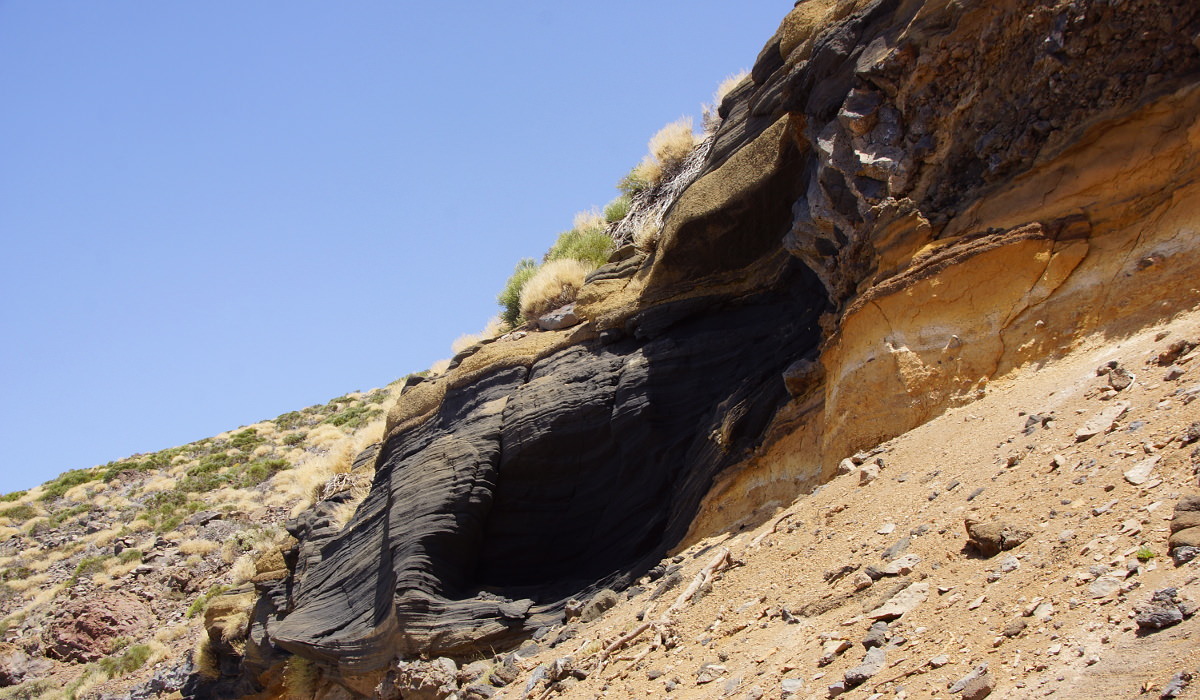
Rock formations at Teide.
No responsibility is taken for the correctness of this information
top
See also 3D photos from Pico del Teide.